November 2018
Congress first authorized the distribution of one copy of the House and Senate Journals and other Congressional documents to certain universities, historical societies, and state libraries in an act of 1813. The New York State Library began receiving deposit of documents at its inception in 1818.
Arrangements for printing and distributing documents were reformed and re-ordered numerous times, with varying success. In 1860, legislation was approved to establish a Government Printing Office under the direction of a Superintendent of Public Printing, ending decades of waste and abuse in printing by private firms. The new GPO began work on the same day Abraham Lincoln was inaugurated, March 4, 1861.
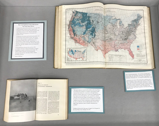
Federal publications document the activities of the government which have influenced all aspects of cultural, geographical, scientific, and historical knowledge. This exhibit includes a selection of rare and significant documents from the New York State Library's federal documents collection.
One of the publications on display in this case is Atlas of American agriculture: Physical basis including land relief, climate, soils, and natural vegetation of the United States. Prepared under the supervision of O.E. Baker in the Department of Agriculture in 1936, this is a spectacular color atlas of the United States exhibiting great detail in hundreds of maps, graphs, tables, and text on the full range of agricultural topics and subtopics. Bound into a single volume here, it consists of several parts often found as separates:
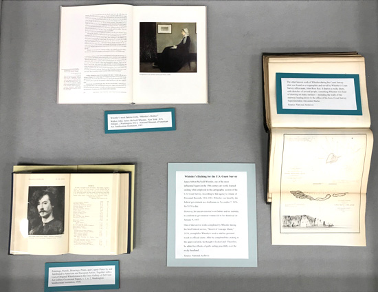
The center case featured James Abbott McNeill Whistler, one of the most influential figures in the 19th-century art world, who apparently learned etching while employed in the cartographic section of the U.S. Coast Survey. According to that agency's volume of Personnel Records, 1816-1881, Whistler was hired by the federal government as a draftsman on November 7, 1854, for $1.50 a day. However, his tenure in this position was brief; his unconventional work habits and his inability to conform to government routine led to his dismissal just two months later in January 1855.
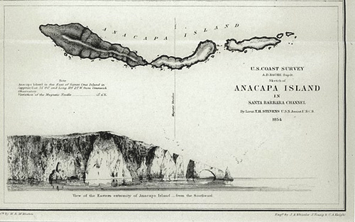
One of the known works completed by Whistler during his brief federal service, "Sketch of Anacapa Island," 1854, exemplifies Whistler's need to add his personal touch to official charts. After he completed this etching in the approved style, he thought it looked dull. Therefore, he added two flocks of gulls sailing gracefully over the rocky headland.
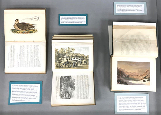
Publications in the third case focused on military exploration. In 1853, President Millard Fillmore sent Commodore Matthew Perry on a mission to establish trade with Japan – a country that had been isolated from the outside world since the 17th. On his second trip to Japan in 1854, Perry signed the Treaty of Kanagawa on behalf of the United States, which established "permanent" friendship between the two countries. The treaty guaranteed that the Japanese would save shipwrecked Americans and provide fuel for American ships, but also opened the opportunity for trade between Japan and the United States. The signing of this treaty signaled the end of Japanese isolation.
The U.S. Navy published Perry's Narrative of the Expedition of an American Squadron to the China Seas and Japan: performed in the years 1852, 1853, and 1854, under the command of Commodore M.C. Perry in 1856.
A decade later, in 1867, the U.S. Congress appropriated funds to establish the Geological Exploration of the Fortieth Parallel under the War Department. Chief of the Army of Engineers, General Andrew Atkinson Humphreys, appointed Clarence King, a graduate of Sheffield Scientific School of Yale, to lead the survey. The mission of the survey was to examine the geological features and natural resources across a band of land between the 105th and the 120th meridians along the 40th parallel. Additional natural scientists to the survey included three geologists, a botanist, and an ornithologist.
The resulting Report of the Geological Exploration of the Fortieth Parallel made by order of the Secretary of War according to acts of Congress of March 2, 1867, and March 3, 1869, under direction of Brig. and Bvt. Major General A. A. Humphreys, Chief of Engineers was published by the U.S. Army in 1878.
Other publications on display documented some of the work of the Government Printing Office itself; the research of federal offices like the Surgeon General, the US Hygenic Laboratory and the US Military that led to improvements health and medical treatment; and publications from the Department of Defense from the 1950s and 1960s dealing with nuclear weapons.
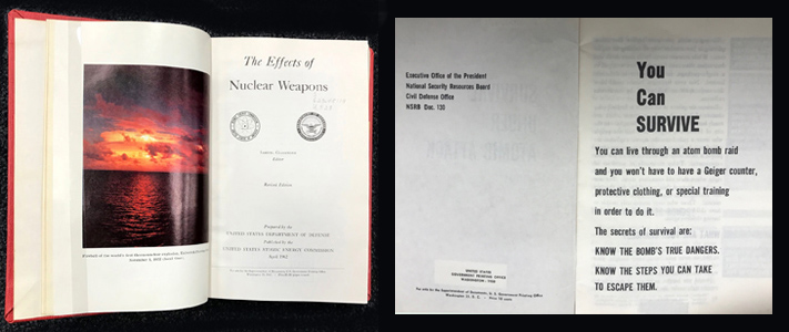
Exhibit curated by Melissa Destefano